
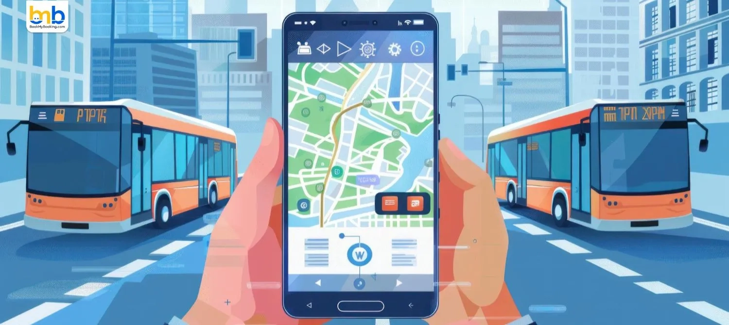
MapmyIndia, the Indian digital mapping and navigation company, has upgraded its Mappls App to include integrated public transport routes such as metro, rail and bus networks within the app. This enhancement aims to make travel planning in cities across India easier and more efficient for commuters.
The new multimodal public transport feature brings together information on metro lines, train services and bus routes in one place, allowing users to see stations, stops and interchange options directly within the Mappls interface. The update currently works in over 18 major Indian cities, including Delhi, Mumbai, Bengaluru, Chennai, Hyderabad, Pune and Kolkata.
This move strengthens Mappls as a comprehensive navigation platform, combining both private vehicle navigation and public transport options to help people plan smarter journeys. Officials say the feature supports sustainable urban mobility by encouraging use of mass transit, reducing road congestion and lowering emissions.
The public transport integration is live on iOS and web versions of Mappls, with support on Android rolling out soon. Alongside this update, Mappls continues to offer turn-by-turn directions, real-time traffic updates, safety alerts and intelligent routing.
MapmyIndia says the enhancement reflects user feedback and its goal of creating an inclusive and accessible navigation experience for millions of commuters across India.
#bookmybooking #news #mapmyindia #travelapp #mapplsapp #travelbookingapp